InContext3D
Free to use. Pay only for what you render.
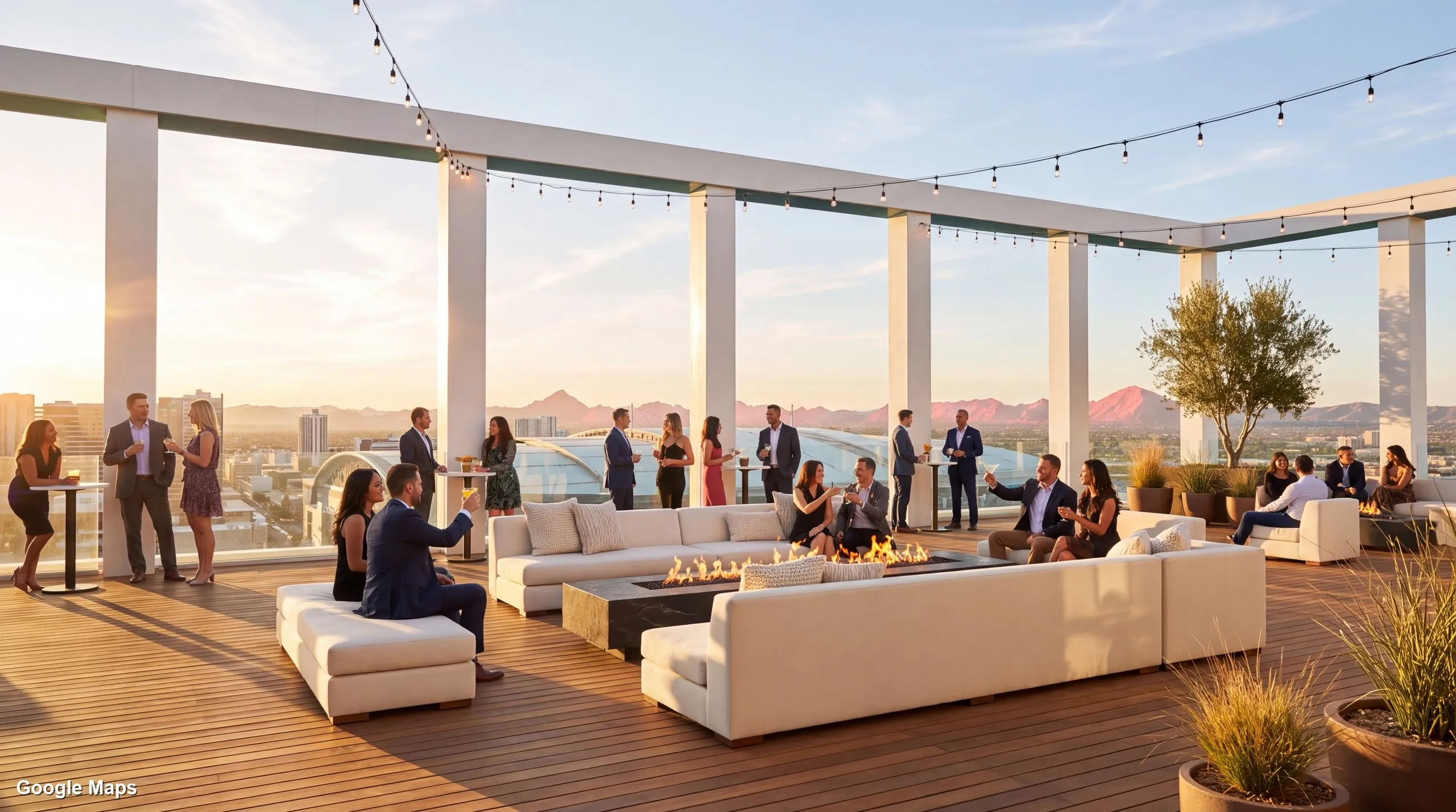
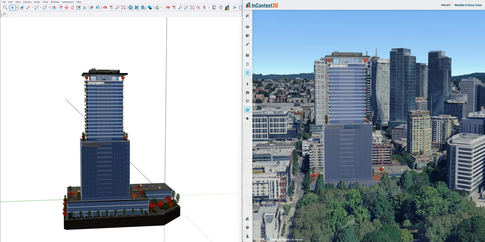
A browser app with plugins for Revit, SketchUp and Rhino that places your model on photorealistic 3D tiles of the real site, then turns any view into an AI image or video.
AEC/O technology partner · since 2016
MOUSE CLICK STUDIOS is a veteran-owned studio in Phoenix, Arizona. We build the software and capture the imagery that architects, engineers, builders and owners use to plan, present and document their projects.
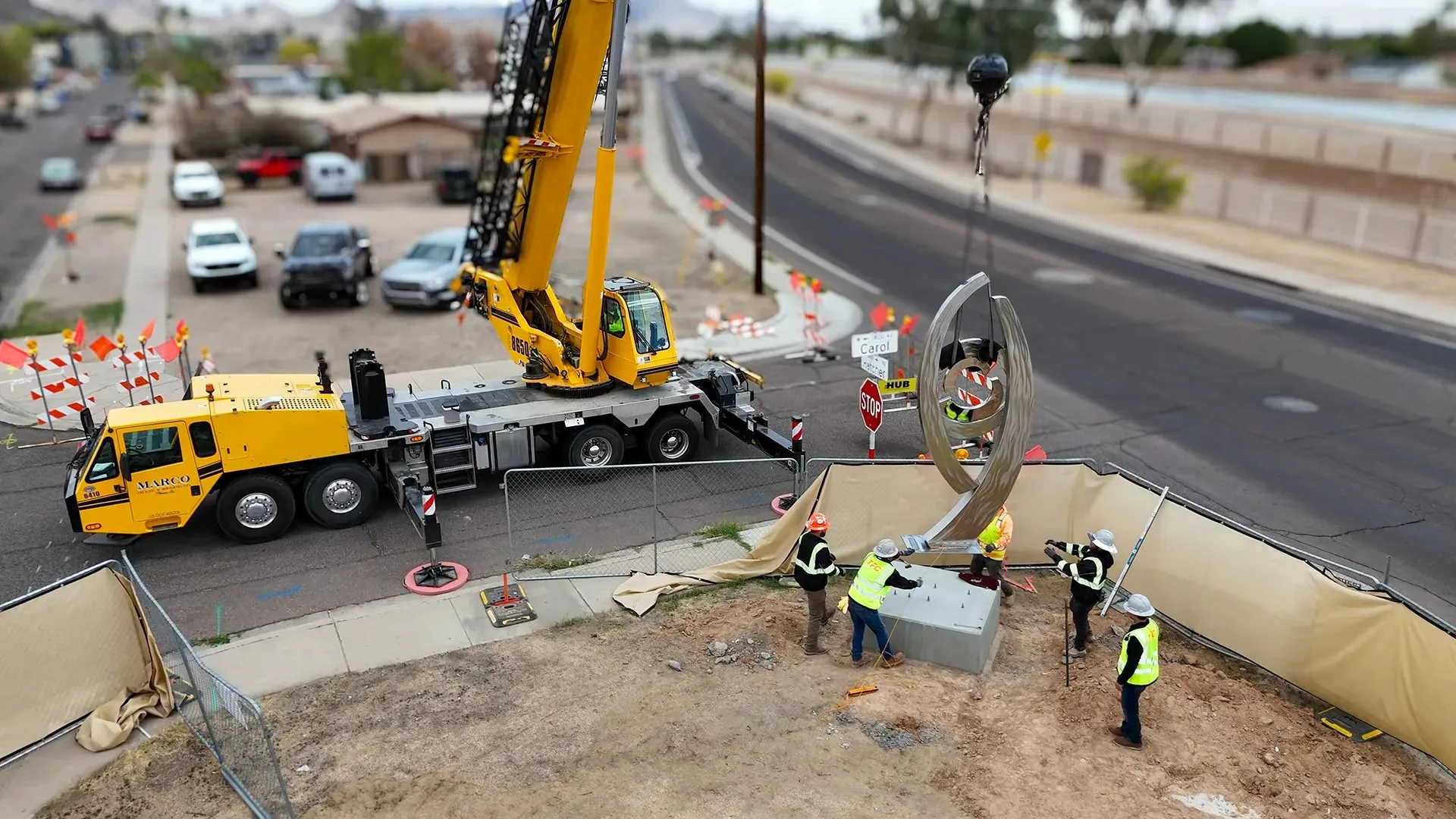
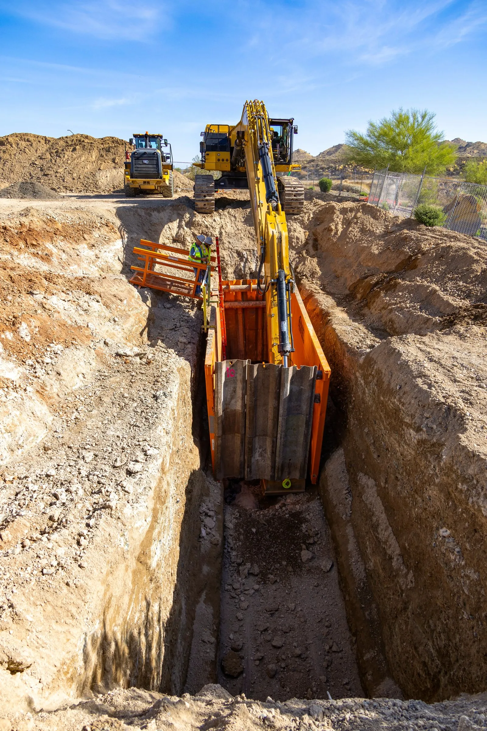
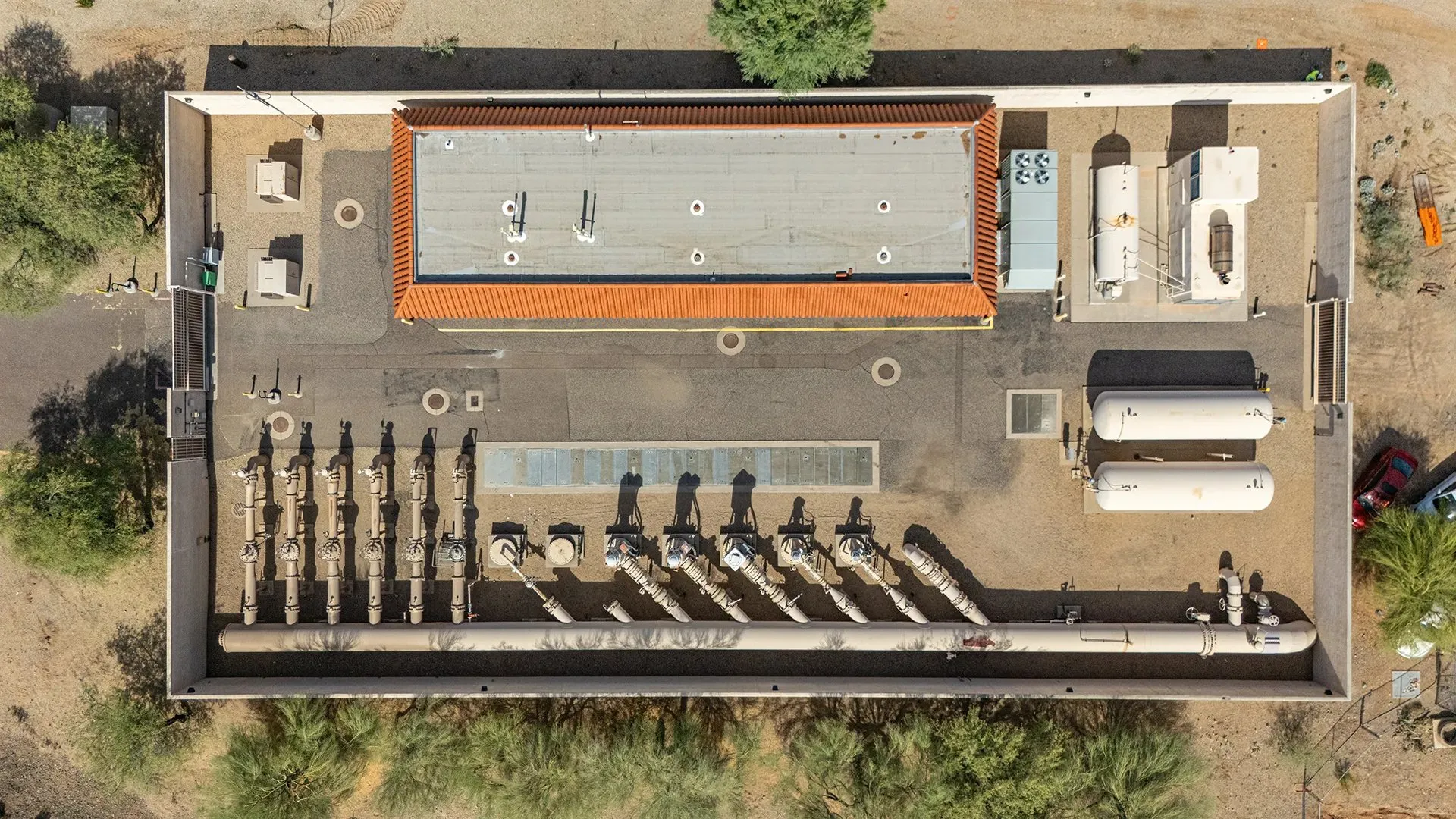 Drone capture
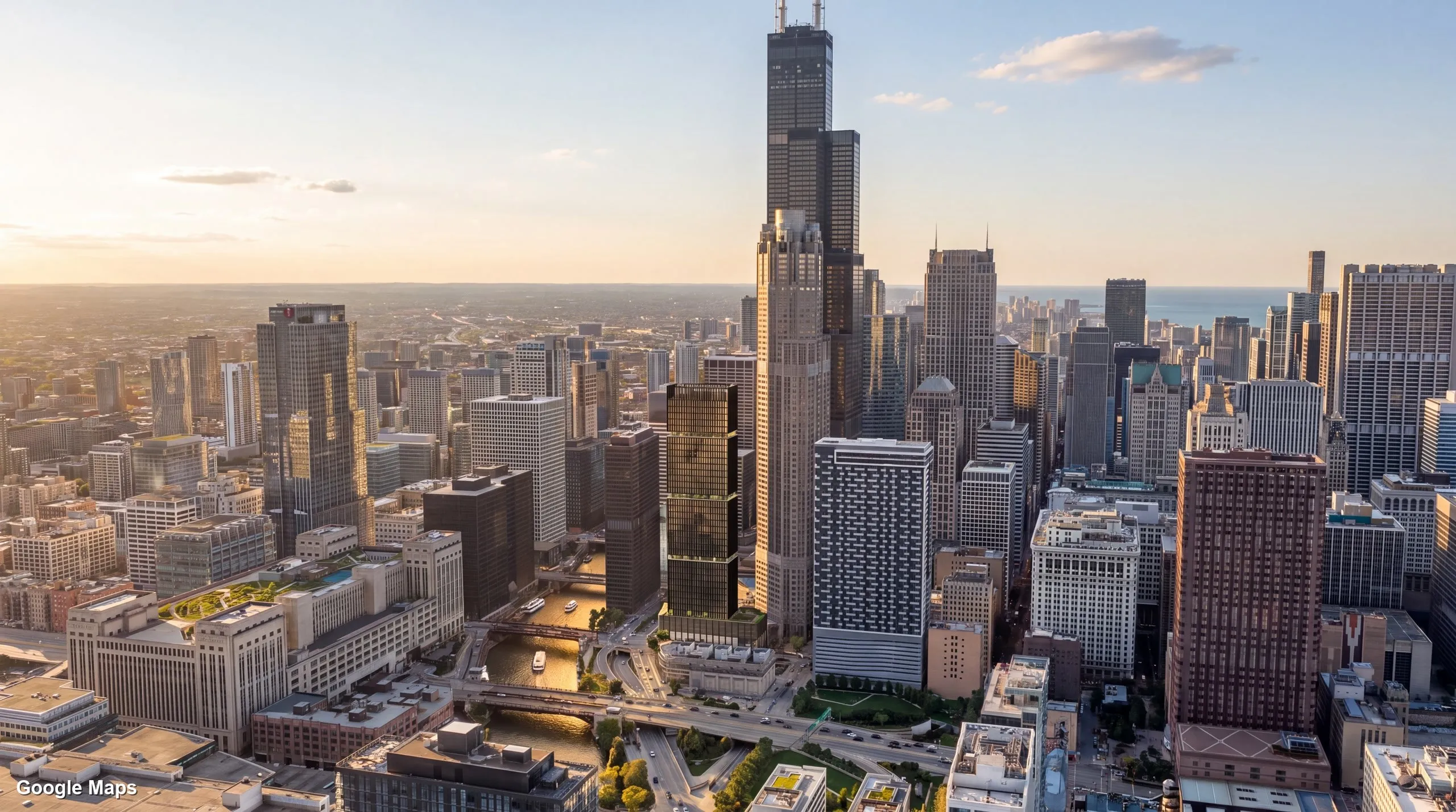
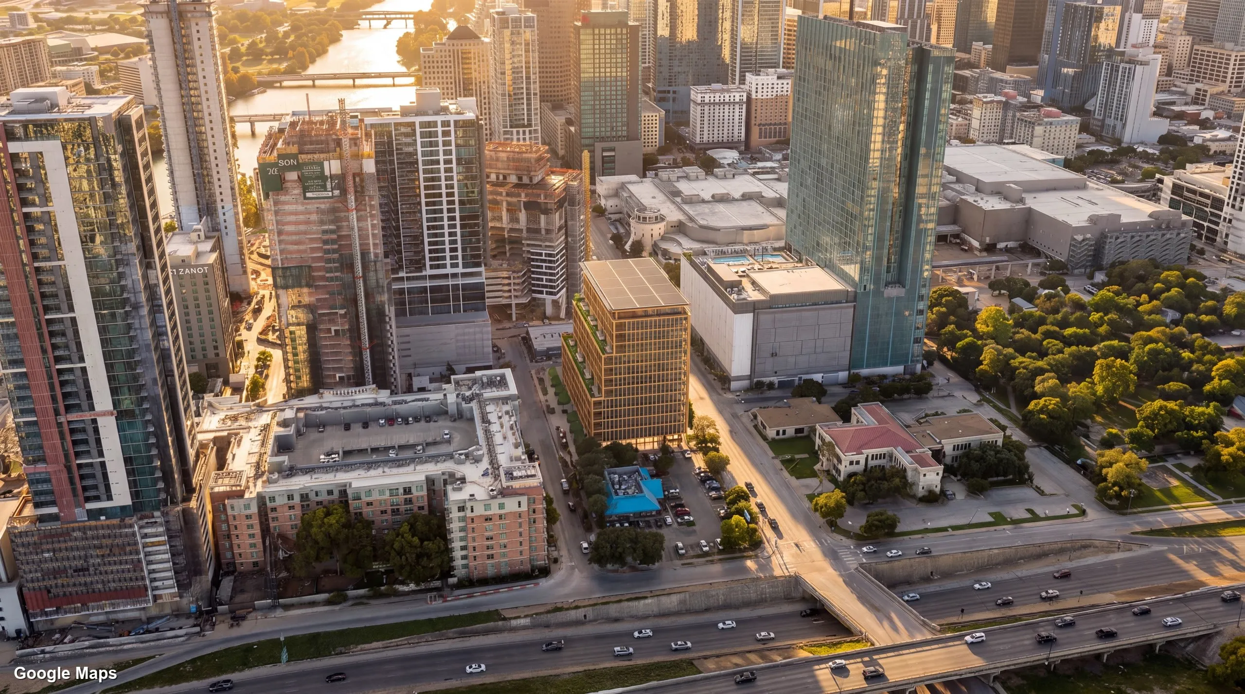
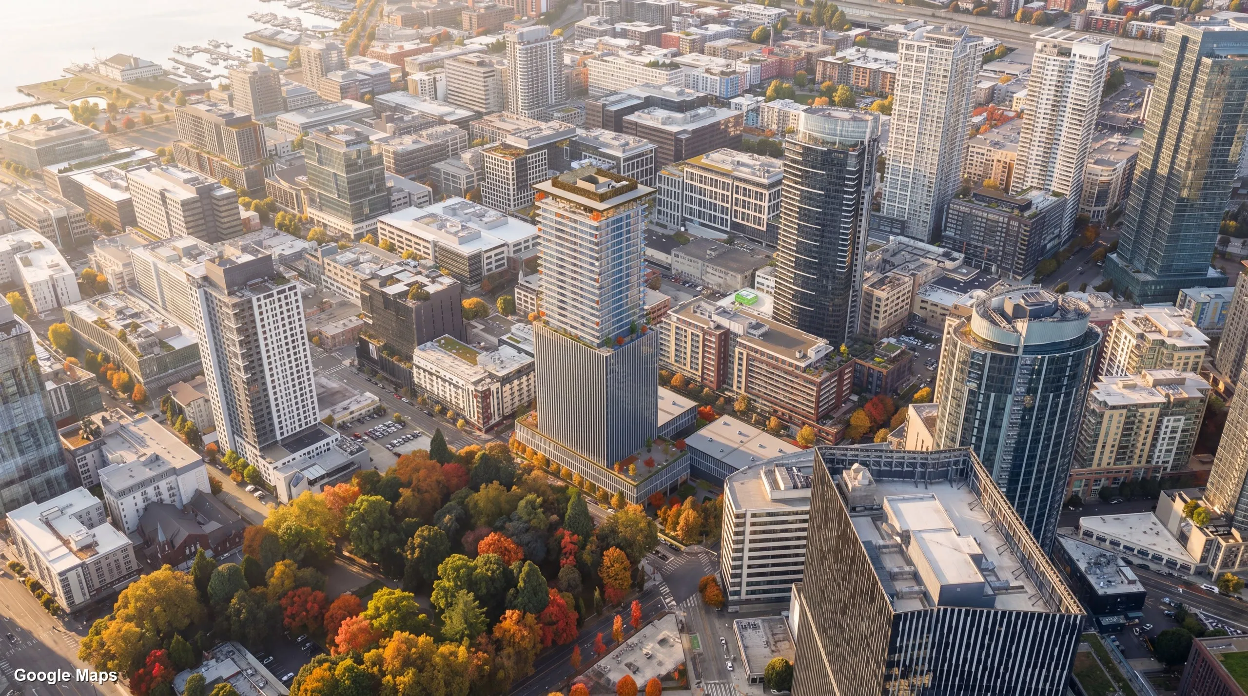
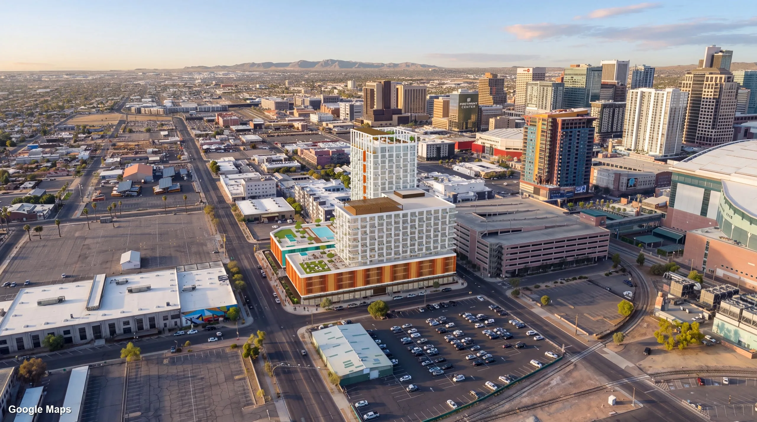 Rendered in context
Our software
Three products designed, built and supported in-house. Two are made for the AEC/O industry, and one keeps your phone recordings safe.
Free to use. Pay only for what you render.
A browser app with plugins for Revit, SketchUp and Rhino that places your model on photorealistic 3D tiles of the real site, then turns any view into an AI image or video.
Capture more. Deliver more.
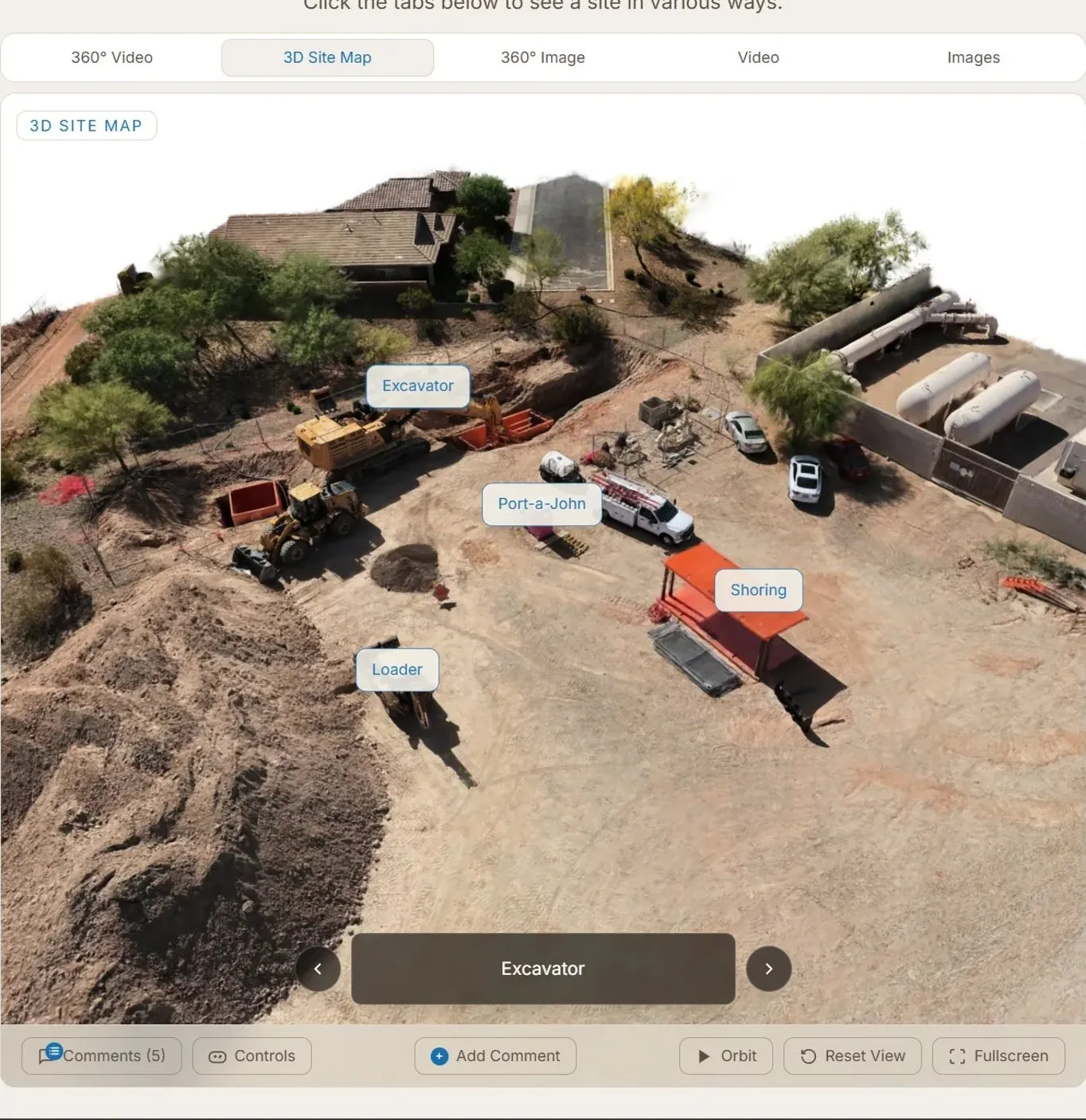
Professional drone and photography services with a free interactive platform where clients explore 360° tours, 3D site maps, photos and video of their sites.
Record. Back up. Keep going.
Your own personal bodycam for Android and iPhone. It records the moment it opens and uploads in 10-second pieces as you go, so if the phone is dropped, taken or dies, everything except the last few seconds is already saved.
See them in action
Services
Every service is built for how projects actually run: schedules, stakeholders, approvals and the handoff at the end.
Renderings, animations and interactive 3D that make a design easy to understand, whether the audience is a planning board, a client or a buyer.
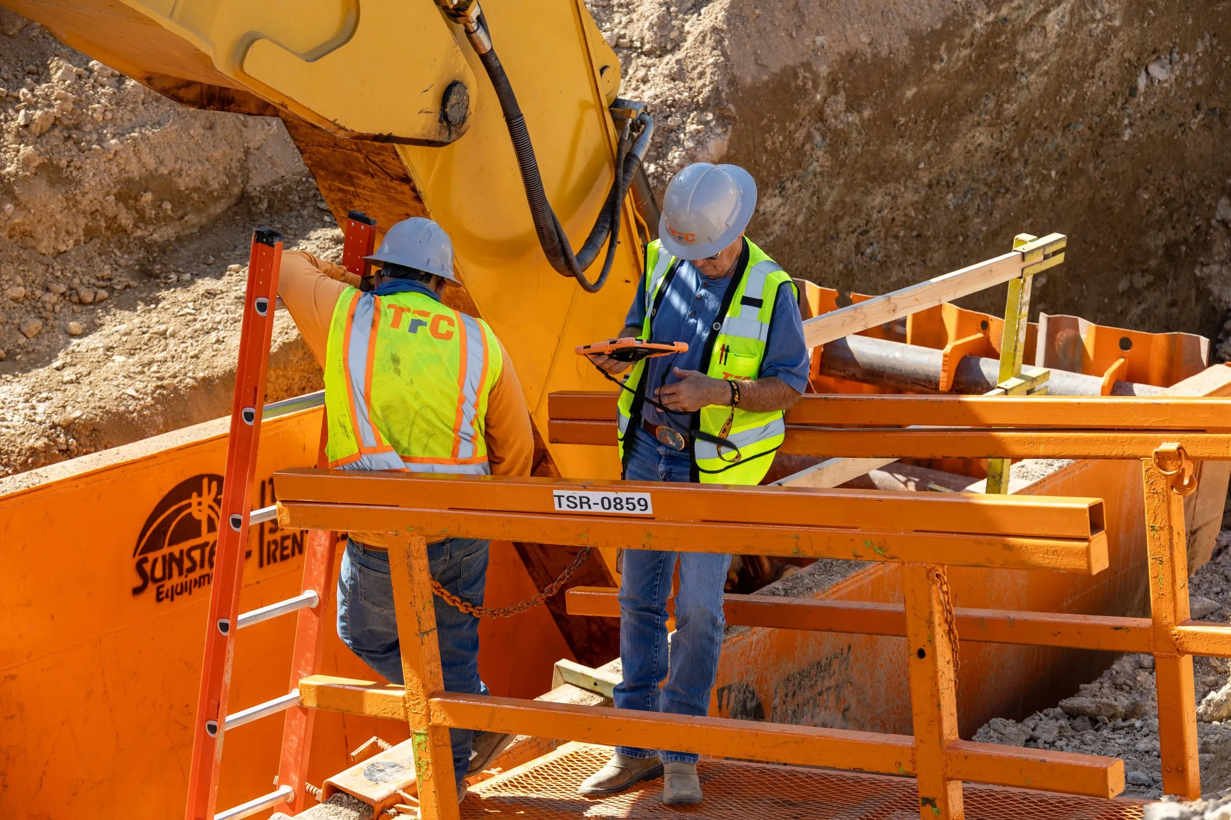
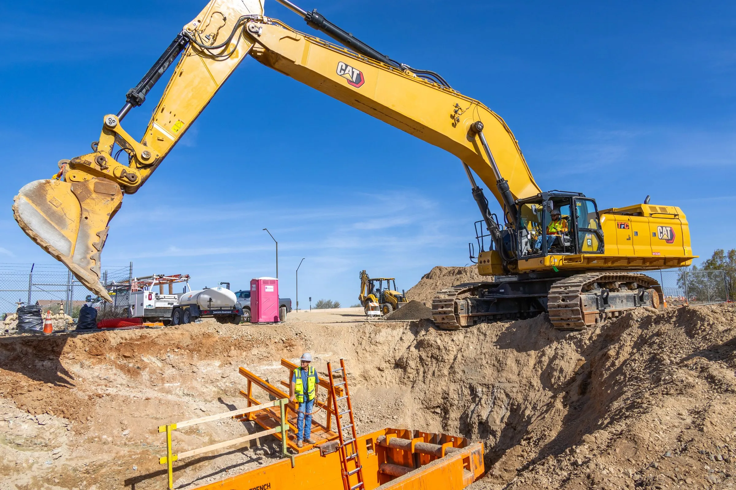
FAA-certified aerial and ground capture built around construction schedules. We deliver it on a platform your whole team can use, not a folder of files.
Tools for problems off-the-shelf software ignores. We design, build and run them ourselves, and our own products are the proof.
How it fits together
The software and the services come from the same shop. Site imagery we fly feeds the models we place in context, and those become the visuals we deliver.
Selected work
A sample of aerial capture, site photography and renders made with InContext3D. Renders show concept designs for illustration, not real proposals.