360° drone
Aerial video tours that let viewers look in any direction from above the site.
Software and service · SiteLens360
SiteLens360 pairs professional drone and photography capture with a free interactive platform. Clients explore 360° tours, 3D site maps, photos and video of their sites from any browser, instead of digging through a download link.
 Captured by SiteLens360
What we capture
Every SiteLens360 visit produces a set of deliverables that answer different questions about the same site.
Aerial video tours that let viewers look in any direction from above the site.
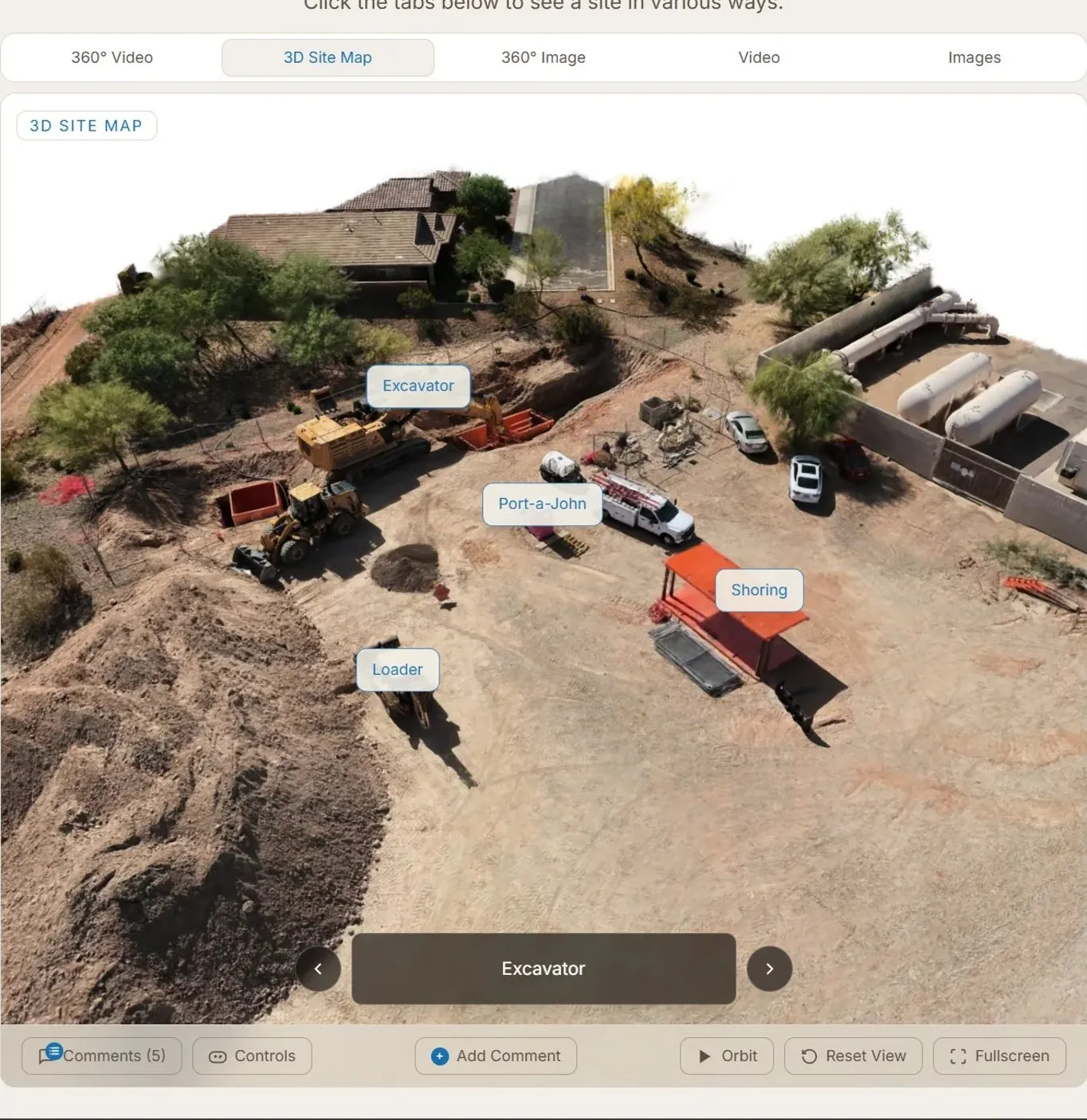
A full spatial overview of the site you can orbit, measure and annotate.
Ground-level immersive tours of interiors, entries and key spaces.
High-resolution stills and cinematic footage for reports and marketing.
The platform
Each client gets a private, shareable site dashboard at no extra cost. Switch between the 360° video, 3D site map, 360° images, video and stills for any flight, and compare visits over time.
Use cases
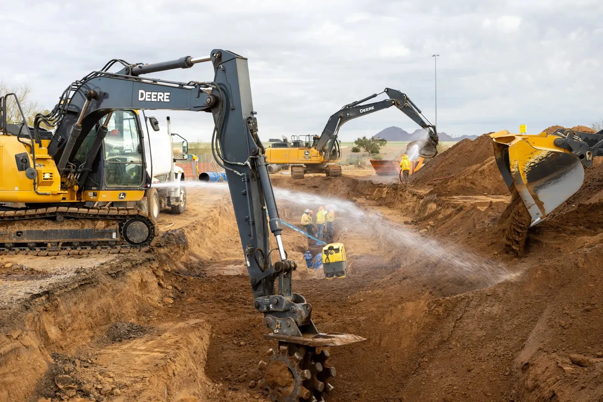
Recurring flights document every phase of the build and keep owners and stakeholders current from anywhere.
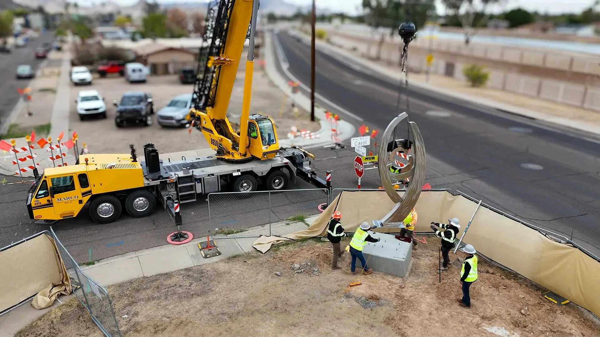
Groundbreakings, crane picks and topping-out ceremonies captured as a permanent, immersive record.
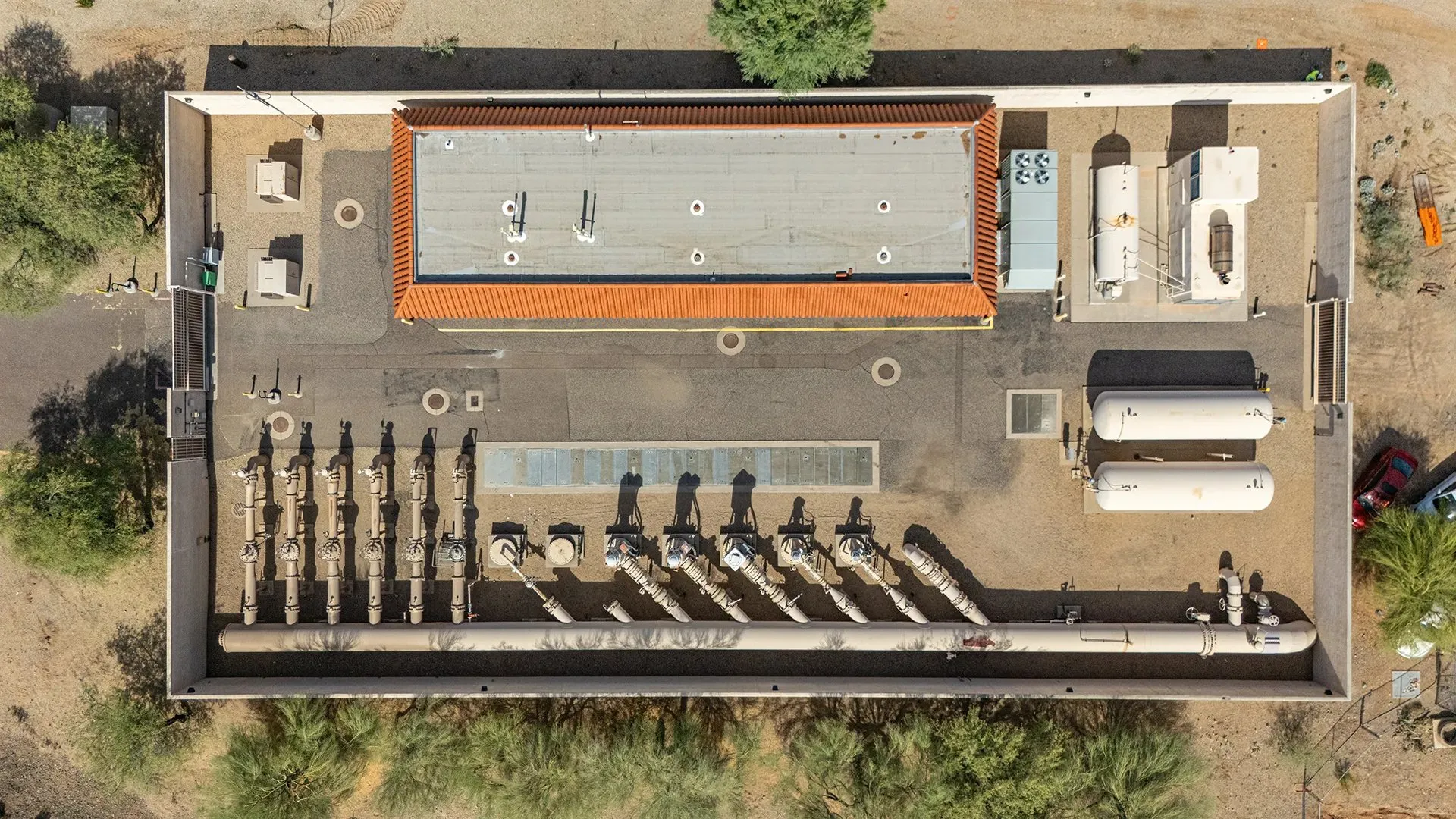
Roofs, structures and full perimeters documented safely, without scaffolding or ladders.
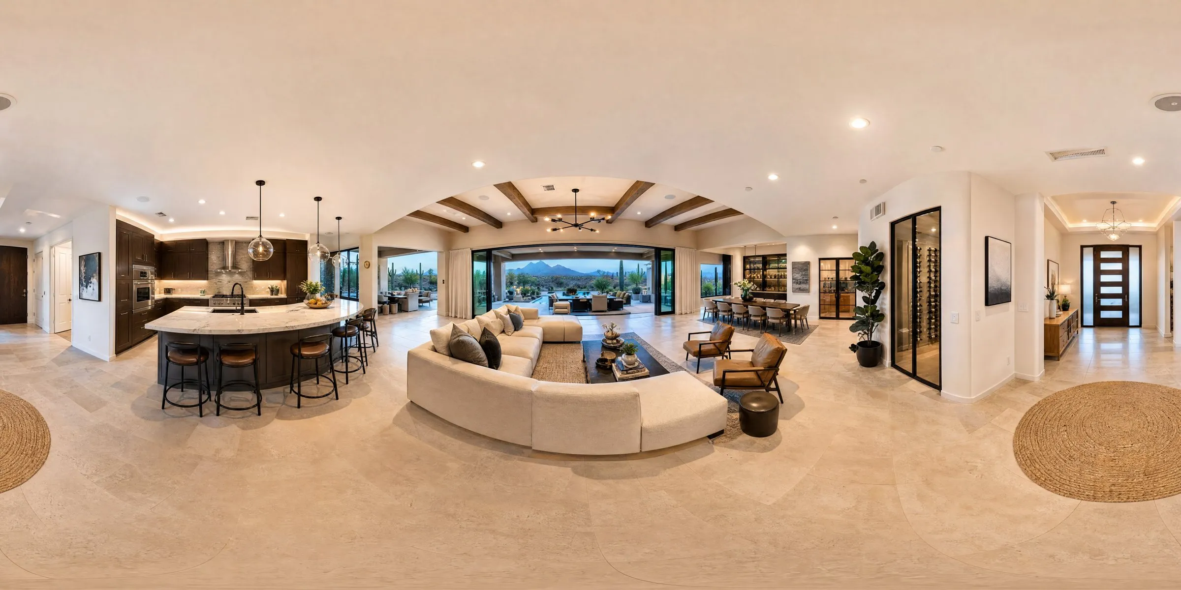
Immersive 360° listings that give buyers a complete walkthrough before they visit.
Process
We handle permits, airspace authorization and logistics. One-time or recurring.
FAA-certified pilots fly 360° aerials and shoot ground footage in a single visit.
Everything is hosted in a private, interactive dashboard you can share with your team.
360° ground capture
One-time or recurring capture, based in Phoenix and available nationwide. Call (480) 268-6227 or email to schedule.