Aerial photography
High-resolution stills from vantage points no ladder or lift can reach.
Services · Drone and photography
FAA-certified aerial and ground capture for the AEC/O industry. We fly to construction schedules, understand what a superintendent or owner needs to see, and deliver it on a platform instead of a hard drive.
 Aerial capture
Capabilities
High-resolution stills from vantage points no ladder or lift can reach.
Smooth, planned flight paths for marketing films and progress reels.
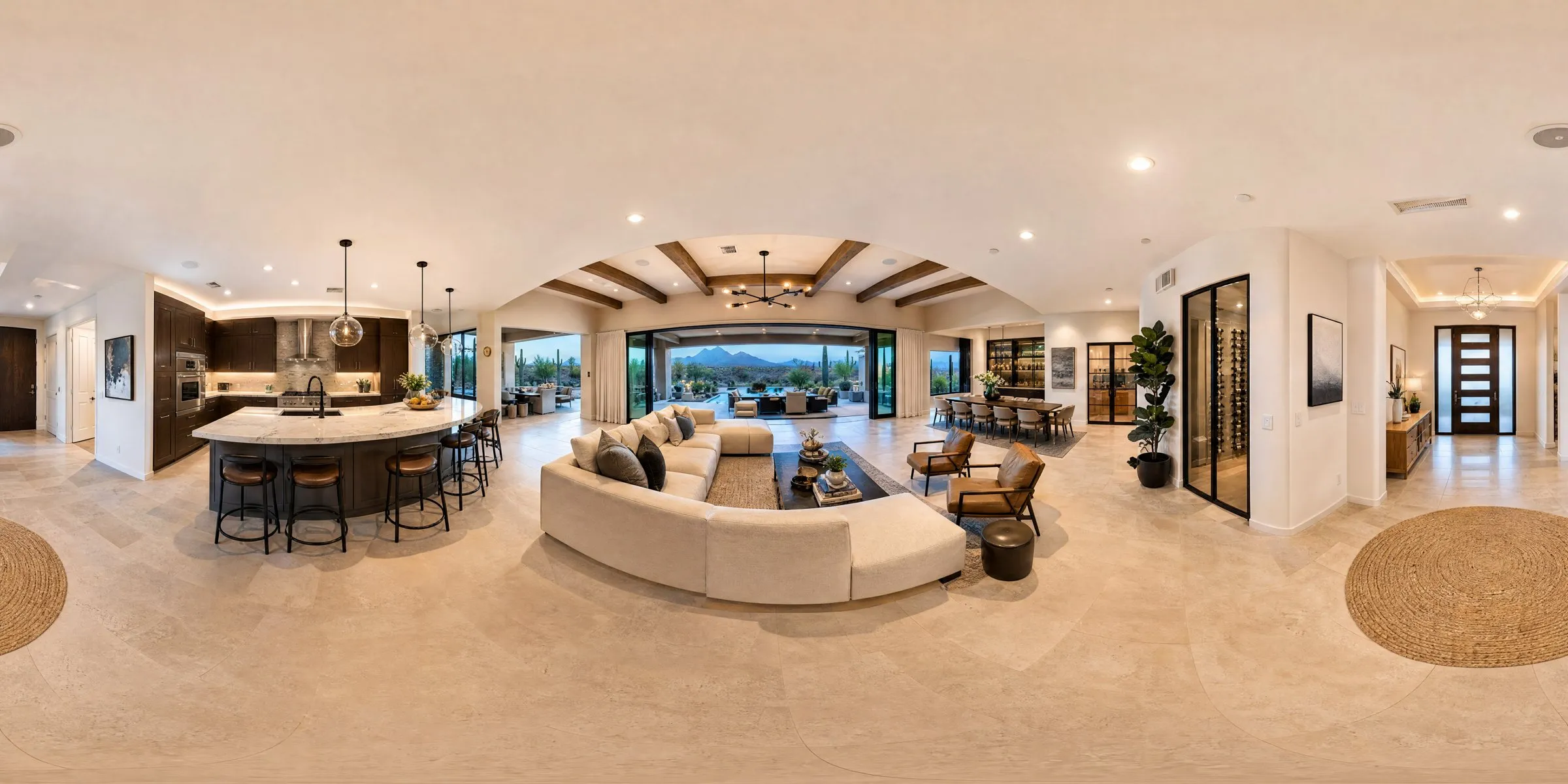
Immersive panoramas viewers can look around in from any browser.
Orthomosaics and 3D site maps for planning, logistics and measurement.
Interior and street-level capture that ties the aerial view to the details.
Editing, titling, music and color, turning raw footage into a finished piece.
Built for AEC/O
Drone work for the built environment isn't just pretty footage. It's a record the whole team relies on, from bid to closeout.
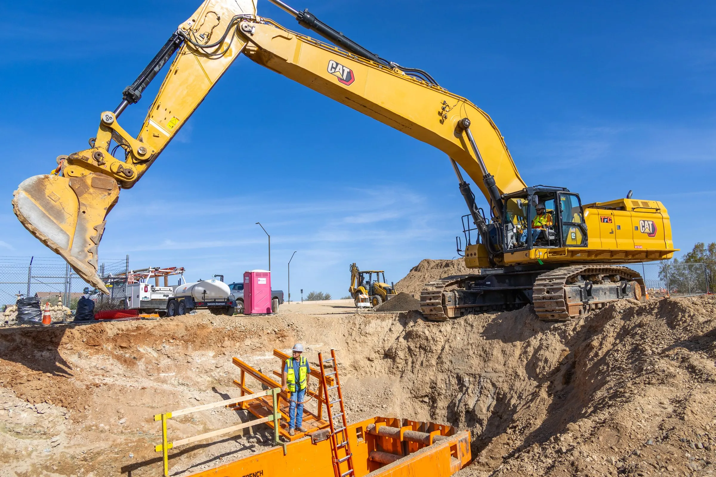
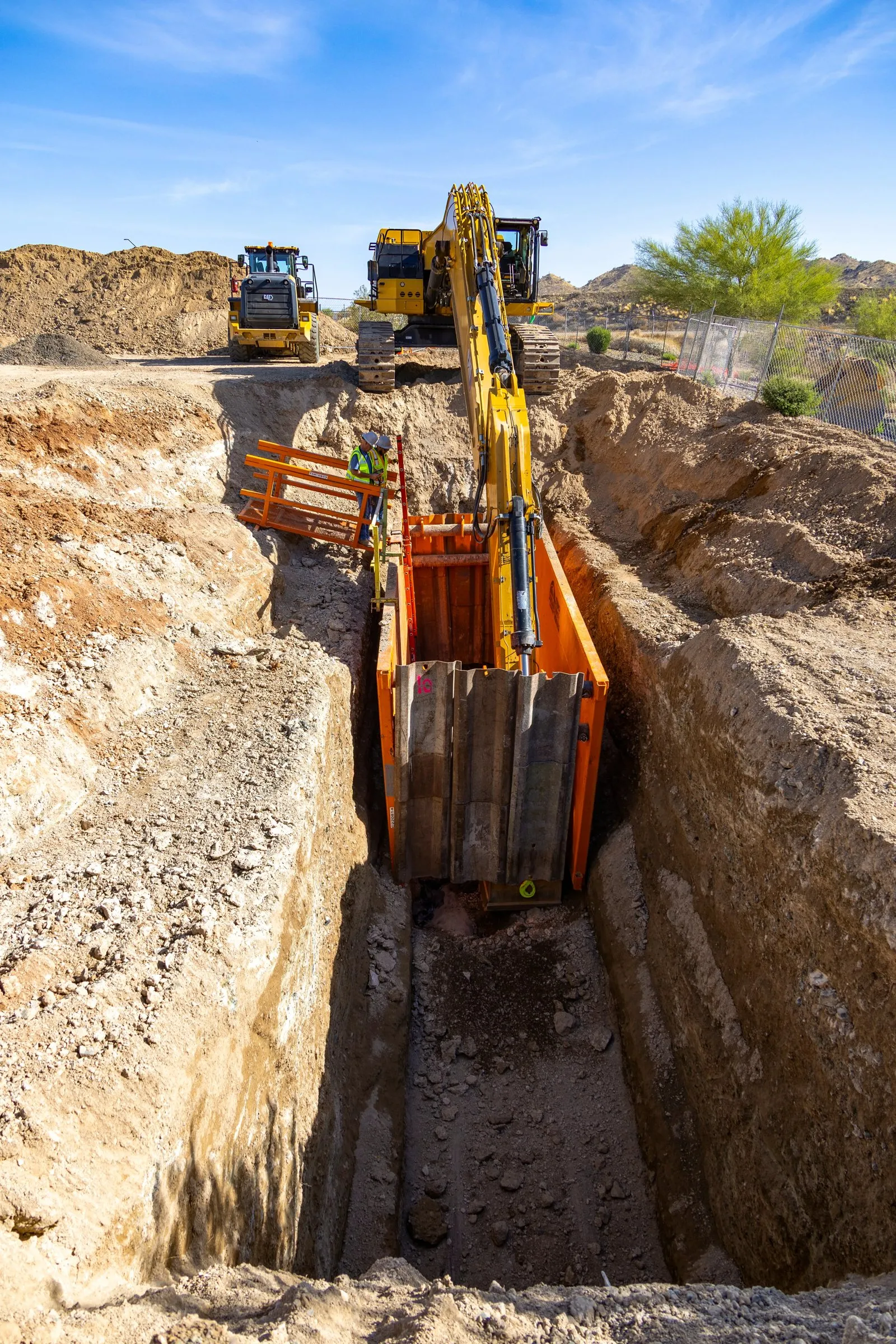
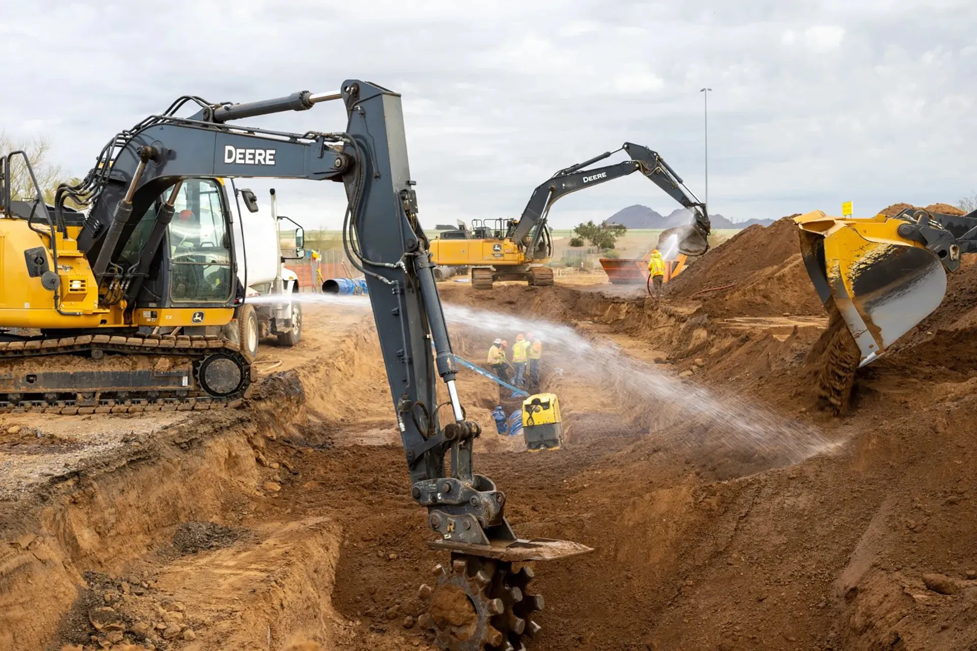
Existing conditions, site access, neighbors and staging areas captured before the first shovel.
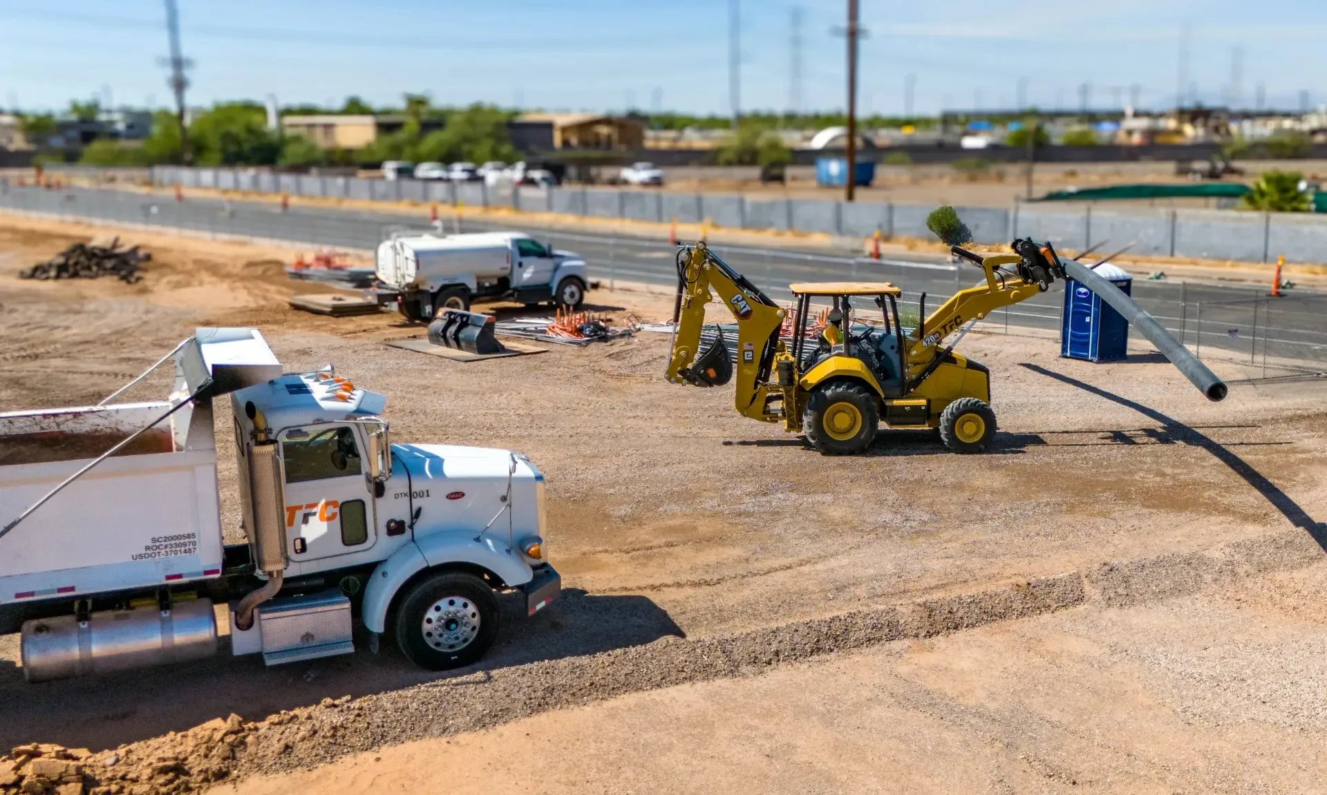
Recurring flights from the same positions, so each visit lines up with the last one.
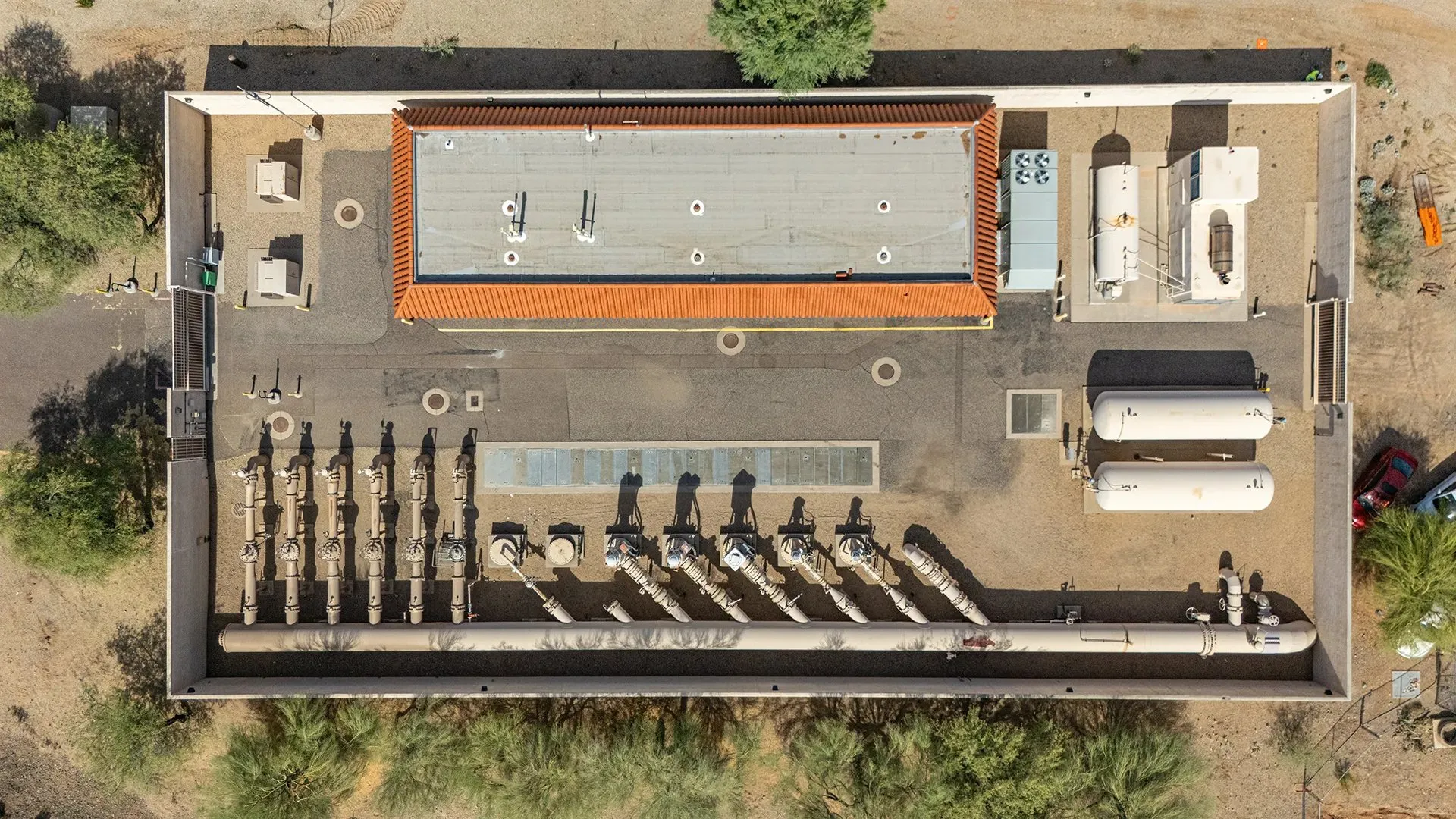
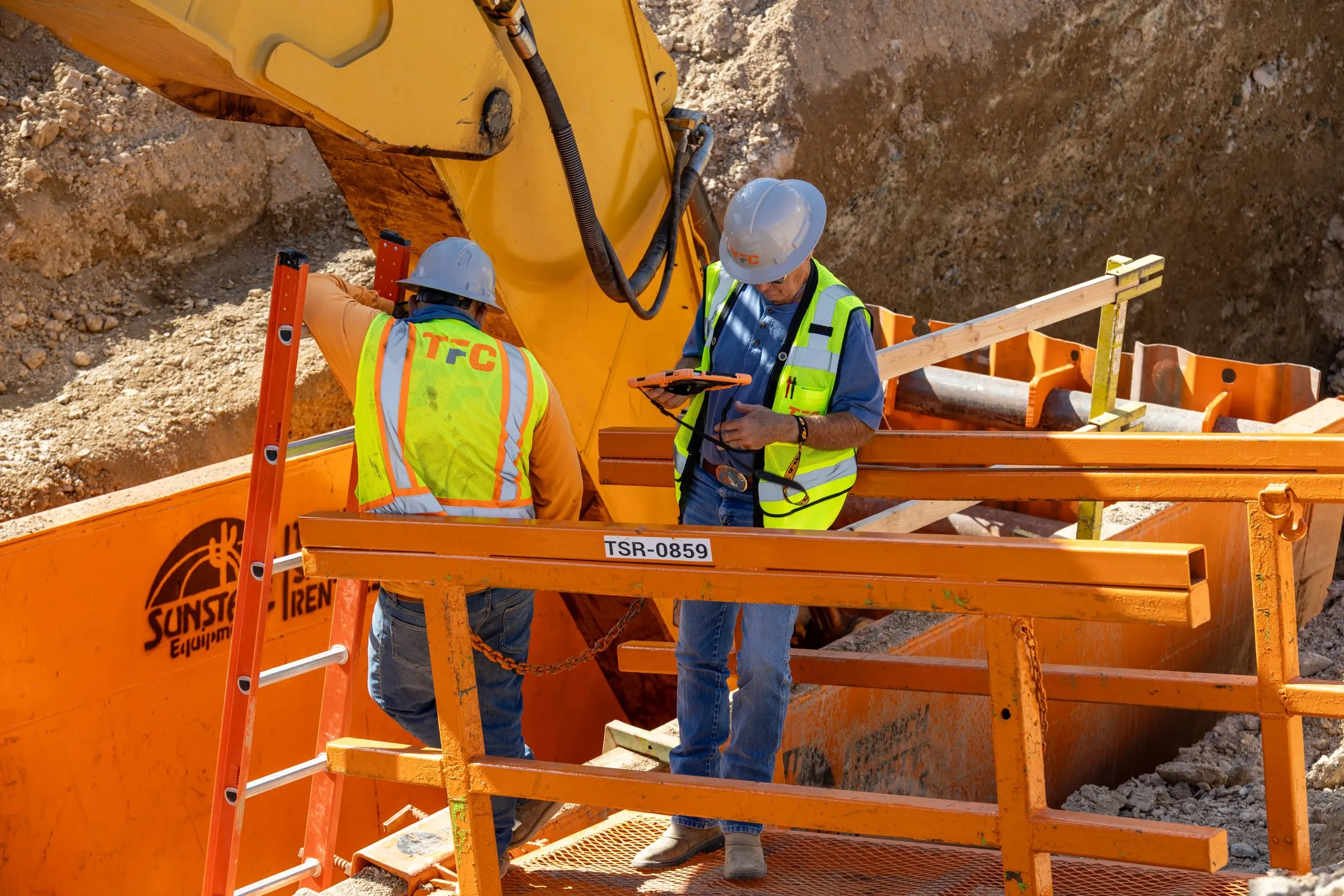
Roofs, facades, equipment yards and perimeters, documented without putting people at height.
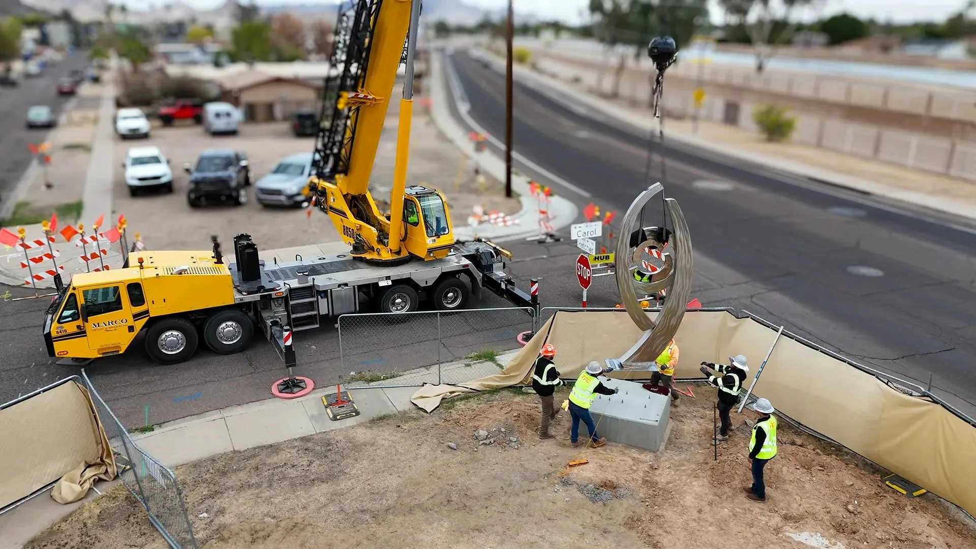
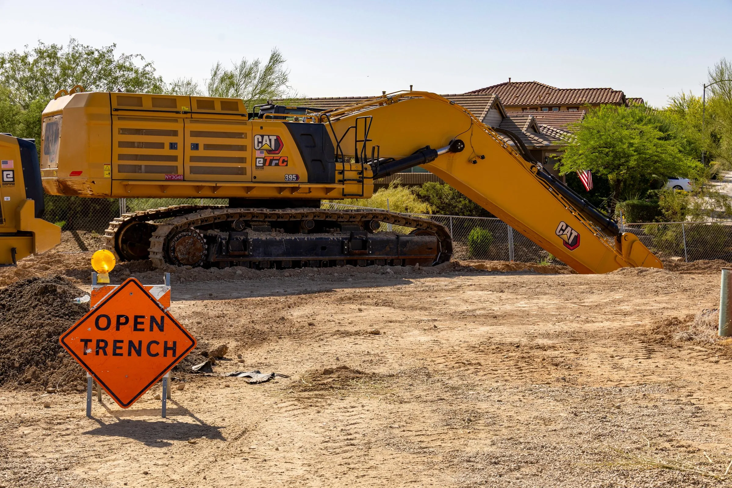
Crane picks, toppings-out and finished work, captured for owners, proposals and your portfolio.
Safety and compliance
Every flight is flown by an FAA Part 107 certified remote pilot and planned around airspace, site safety and the day's work.
Delivery
Every flight lands in a free, private SiteLens360 dashboard: 360° video, 3D site map, 360° images, video and stills, organized by site and date and ready to share with your team.
About SiteLens360
Tell us the site, the schedule and what you need to see. One-time or recurring, anywhere in the Phoenix area and nationwide.